UN
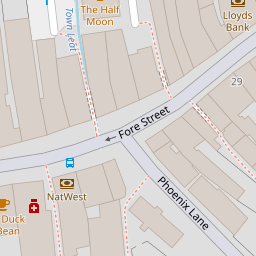
11a Fore Street
£ 114,950
Description
We don't have a Description for this property.
- Bedrooms
- 3
- Bathrooms
- 0
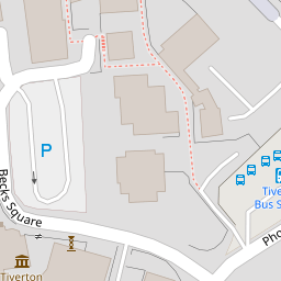


Leaflet © OpenStreetMap contributors
The heatmap indicates the level of crime in the area. The color of the heatmap indicates the crime severity and recency.
Metrics Year-on-Year
- Average area value
- 270,063.00 £Decreased by 20.50 %
- Average area rental value
- 904.00 £/moDecreased by 11.02 %
- Est rental Yield
- 4.02 %Increased by 11.98 %
- Crime Rate
- 26.00 %Unchanged by 0.00 %
from 339,711.00 £
from 1,016.00 £/mo
from 3.59 %
from 26.00 %
Nearby Schools
| Name | Type | Ofsted | Distance |
|---|---|---|---|
| Castle Primary School | Foundation School | Good | 0.62 KM |
| Heathcoat Primary School | Foundation School | Good | 0.73 KM |
| Ace Tiverton Special School | Free Schools Special | 0.82 KM | |
| St John'S Catholic Primary School | Academy Converter | Requires improvement | 0.97 KM |
| Tiverton High School | Foundation School | Good | 1.11 KM |
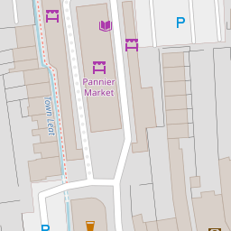
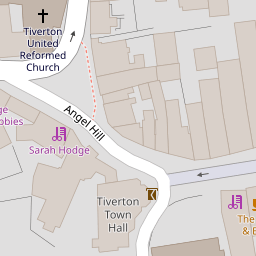
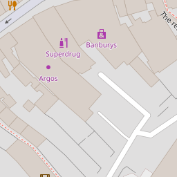
Images
Nearby Streets
| Name | Average Price | Average Sqft | Distance |
|---|---|---|---|
| Crown Walk | £ 192,500 | 0 | 0.00 KM |
| Landboat Cottages | £ 0 | 0 | 0.00 KM |
| Morville Place | £ 0 | 0 | 0.00 KM |
| St Paul Street | £ 185,000 | 0 | 0.00 KM |
| Castle Street | £ 275,000 | 0 | 0.00 KM |
Nearby Listings
| Address | Price | Type | Score | Distance |
|---|---|---|---|---|
| Angel Terrace, Tiverton, Devon, EX16 | £ 120,000 | BUY | 7 / 10 | 0.11 KM |
| Market Terrace, Tiverton, Devon, EX16 | £ 195,000 | BUY | 4 / 10 | 0.12 KM |
| Angel Hill, Tiverton | £ 185,000 | BUY | Unknown | 0.13 KM |
| Fore Street, Tiverton | £ 60,000 | BUY | 5 / 10 | 0.13 KM |
| Market Terrace, Tiverton | £ 175,000 | BUY | 5 / 10 | 0.14 KM |
Nearby Properties
| Address | Price | Distance |
|---|---|---|
| 11a Fore Street | £ 114,950 | 0.00 KM |
| 4a Fore Street | £ 67,000 | 0.07 KM |
| 6b Fore Street | £ 70,000 | 0.07 KM |
| 2 Fore Street | £ 84,950 | 0.07 KM |
| 8b Fore Street | £ 23,905 | 0.07 KM |